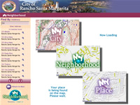
My NeighborhoodTM
Solutions for Local Government
One of our Smart SolutionsTM
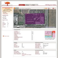
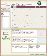
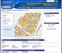
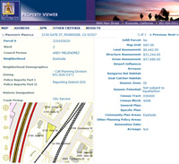
My Neighborhood is intended for use by Local Government Agencies wanting to provide Geospatial information to the public with a focus on neighborhoods. With a My Neighborhood solution, you can easily provide answers to questions such:- "Is my property zoned for business?"
- "What school would my kids go to?"
- "Where's the nearest park?"
- "How do I get to City Hall?"
- "What day of the week do they pickup my trash?"
For additional details on availability and pricing, contact us.
Finding Locations with My Neighborhood
Locating government services, facilities or local businesses has never been easier. Just type in your address and My Neighborhood will find them for you. Examples of features that can be located with My Neighborhood include:- Address
- Police Stations
- Fire Stations
- Polling Place
- School
- Libraries
- Streets
- Parks and Recreation
- Bus Stops/Routes
- Recycling Center (Household Hazardous Waste)
- Government Departments and Buildings
- Business (Coffee House, Video Store)
Detailed Mapping and Reporting with My Neighborhood
As with all solutions built with GeoSmart.net, My Neighborhood maps are rich with GIS functionality and configured within the GeoSmart.net Management Portal. The reports available within My Neighborhood are also highly customizable. The information that can be presented on maps and reports with My Neighborhood is limited only by the data available to the city. Some of the information that can be included in these maps and reports are:
General Info
Jurisdictions
Planning and Zoning
- Property Address/Legal Information
- Assessor Information
- Local Weather
Jurisdictions
- Supervisorial Distict
- Congressional District
- School District
- Justice Precincts
- Voter Precincts
- Incorporated
- Subdivisions
- Utility Districts
- Census Tracts (Population/Demographics)
Planning and Zoning
- Trash Pick Schedule
- Street Sweeping Schedule
- Flood Zone
- Faults/Fault Zones
- General Plan/Land Use
- Code Boundaries
- Economic Development Areas (Redevelopment Areas)
- Vegetation/Open Space
Public Works
Public Safety
- Capital Improvement Projects
- Road Closures
- Pavement
- Sewer lines/Manholes
- Storm drains/Manholes
- Water lines/valves/Hydrants
- Telephone/CATV
- Power lines
- Traffic Information (Real-Time)
Public Safety
- Crime Analysis
- Sex Offenders
- Fire Incidents
- Traffic Patterns/Incidents
- Neighborhood Watch
- Police Stations/Beats/Districts
- Fire Stations/Coverage Areas
- Police/Fire Response Times
Copyright © 2024, MoosePoint Technology
Contact Us
Contact Us

